




Plenary Speakers
(*In alphabetical order of surnames)
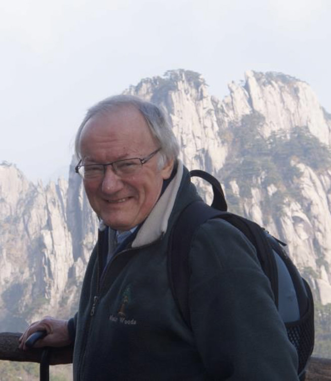
Michael BATTY
Fellow of the British Academy (FBA) and the Royal Society (FRS)
Chairman of the Centre for Advanced Spatial Analysis, Emeritus Professor of Planning, University College London, UKBiography
Professor Michael Batty CBE FRS FBA is Bartlett Professor of Planning at University College London. He is Chair of the Centre for Advanced Spatial Analysis (CASA) and also a Turing Fellow in the Alan Turing Institute. He has worked on computer models of cities and their visualisation since the 1970s and his recent publications Cities and Complexity (2005), The New Science of Cities (2013), and Inventing Future Cities (2018), are all published by The MIT Press. The last two of these books have been translated into Chinese. The edited book Urban Informatics (Springer 2021) reflects his focus on the applications of digital technologies to urban planning. In the 1980s, he was Professor of City Planning and Dean of the School of Environmental Design at the University of Wales at Cardiff, and prior to that a Lecturer and Reader in Geography at the University of Reading. From 1990-1995, he was Director of the National Center for Geographic Information and Analysis at the State University of New York at Buffalo. His first degree BA was in planning from the University of Manchester in 1966 and his doctorate was architecture from the University of Wales, 1984. He has published many papers and he is highly cited with an H index of 115. He is a Fellow of the British Academy (FBA) and the Royal Society (FRS). He was awarded the CBE in the Queen’s Birthday Honours List in 2004. He received the Gold Medal of the Royal Geographical Society (2015) and the Gold Medal of the Royal Town Planning Institute (2016). He has been the editor of Environment and Planning B since 1971.
The Evolution of Generative AI in Urban Planning
Abstract
Artificial Intelligence (AI) is entirely coincident with the emergence of the digital computer. From the start, it was assumed the computer had more than the required power to simulate human intelligence. We sketch its evolution, note phases in its history, define distinctions between strong and weak AI, and emphasise differences between generative and discriminative processes. There will never be a complete template of applications in planning but current methods follow deductive and inductive simulation with a focus on machine learning. We introduce the earliest neural net – the perceptron – and show its applications to spatial simulation and generative plan-making.
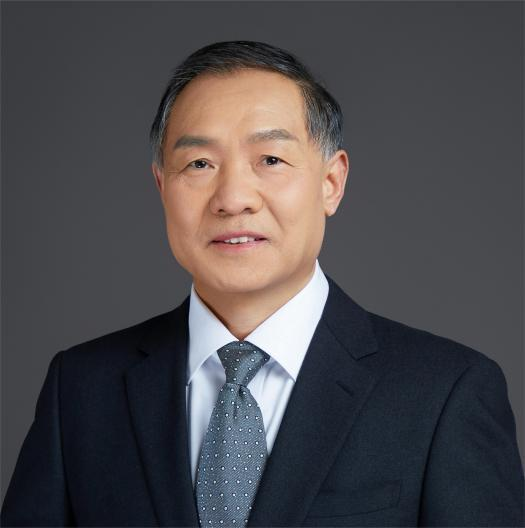
Peng CUI
Academician of the Chinese Academy of Sciences
Scientist in Institute of Geographic Sciences and Natural Resources Research, Chinese Academy of SciencesBiography
Prof. Peng Cui is a distinguished scientist at the Institute of Geographic Sciences and Natural Resources Research, Chinese Academy of Sciences (CAS), and a member of the Chinese Academy of Sciences. He holds several prominent positions, including Co-Chair of the Alliance of International Science Organizations on Disaster Risk Reduction (ANSO-DRR) under the Belt and Road Initiative, Executive Deputy Director and Chief Scientist of the China-Pakistan Joint Research Center on Earth Sciences, and Editor-in-Chief of the Journal of Mountain Science.
A leading expert in physical geography and soil and water conservation, Prof. Cui has dedicated his career to geo-hazard research, specializing in debris flows, landslides, dammed lakes, and soil and water conservation. His groundbreaking work has advanced the understanding of disaster formation mechanisms, movement patterns, risk analysis, monitoring, early warning systems, and integrated prevention and control strategies. His research has been instrumental in addressing major disasters, such as the Wenchuan earthquake, Zhouqu debris flow, Venezuela debris flow, Pakistan dammed lake, and Nepal earthquake, significantly contributing to risk control and mitigation efforts. These achievements have garnered international recognition and praise from both academic peers and governments.
Prof. Cui’s exceptional contributions have earned him numerous prestigious awards, including the Sergey Soloviev Medal from the European Geosciences Union (2023), the CAS Outstanding Science and Technology Achievement Award (2021), the National Innovation Pioneer Award (2020), the National Science and Technology Progress Award (2009), and the Distinguished Researcher Award from the World Association of Soil and Water Conservation (WASWC) (2010). His work continues to shape the field of disaster risk reduction and environmental conservation on a global scale.
Priorities of International Collaboration on Emerging Disaster Risk
Abstract
In an era marked by intensifying climate extremes and escalating geophysical instability, disaster risks are evolving faster than our current understanding, monitoring capabilities, and design standards can accommodate. This keynote addresses the growing complexity of emerging disaster risks driven by compounding factors—climate change, urbanization, and socio-economic pressures. From cascading hazards such as the 2021 Chamoli disaster to record-breaking floods in Europe, Pakistan, and Libya, recent events emphasize the limitations of traditional disaster risk reduction (DRR) approaches. This presentation highlights four strategic priorities through which international collaboration can address emerging risks: advancing scientific understanding of risk perception, enhancing early warning systems, promoting resilient infrastructure, and scaling disaster education. It also emphasizes the need for globally integrated, science-driven solutions supported by data, technology, regulations, and cooperation. With an urgent call to revisit outdated risk paradigms and embrace cross-sectoral innovation—including AI and nature-based solutions—this talk aims to promote resilience and preparedness in vulnerable communities, bridge knowledge gaps, and foster unified action against risks that increasingly transcend national and disciplinary boundaries. The session serves as both a diagnosis of the challenges and a roadmap for collaborative transformation in disaster risk governance.
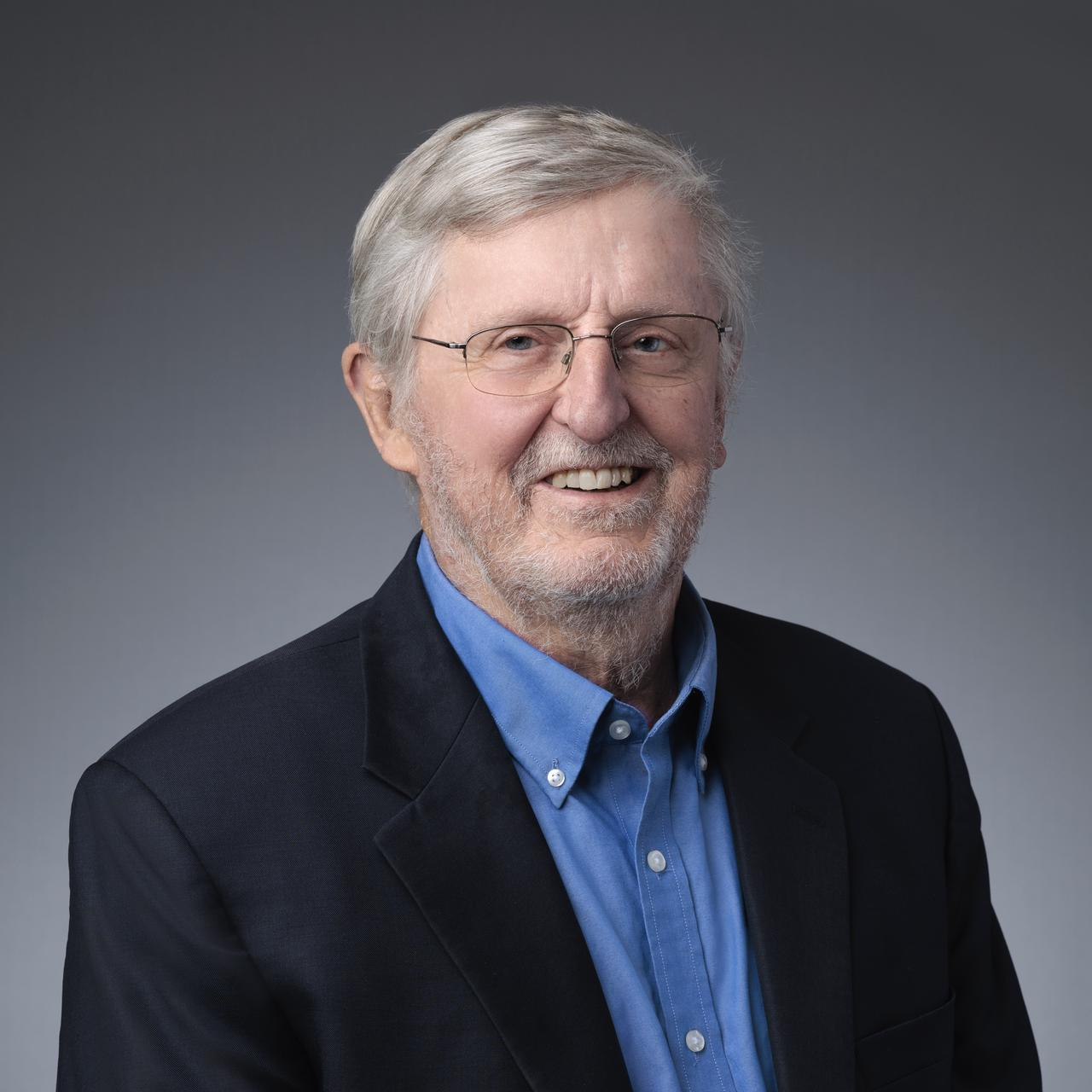
Michael GOODCHILD
Member of the US National Academy of Sciences, Fellow of the Royal Society
Professor Emeritus of Geography at the University of California, Santa Barbara, USABiography
Michael F. Goodchild is Professor Emeritus of Geography at the University of California, Santa Barbara. He received his BA degree from Cambridge University in Physics in 1965 and his PhD in Geography from McMaster University in 1969. His research and teaching interests focus on geographic information science, including uncertainty in geographic information, discrete global grids, and volunteered geographic information. He was elected member of the US National Academy of Sciences in 2002, and Foreign Member of the Royal Society and Corresponding Fellow of the British Academy in 2010. He has published over 600 books and articles.
GeoAI in Urban Informatics
Abstract
GeoAI encompasses a wide range of techniques, from deep learning to the generation of images, and there are many ways in which GeoAI can be useful to urban informatics. I review some of the applications and address the broader contextual issues of ethics, bias, repurposing, fitness for use, uncertainty quantification, access, and ownership. While there are doubts about the value of GeoAI in scientific discovery, there are many ways in which GeoAI is useful in the process of scientific research and in the planning and administration of cities.
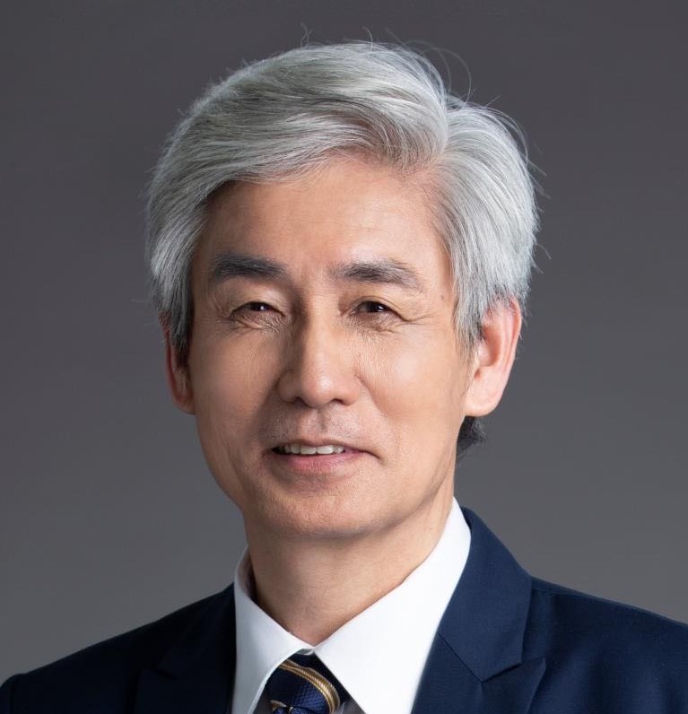
Renzhong GUO
Academician of Chinese Academy of Engineering
Dean of Research Institute for Smart Cities, Shenzhen University, ChinaBiography
Prof. Renzhong GUO was born in Jiangsu, China. He is member of the Chinese Academy of Engineering. He received the B.S. and M.S. degrees from Wuhan University, Wuhan, China, in 1984, and the Ph.D. degree in Geography from University of Franche-Comté, Besançon, France, in 1990. He is currently a professor and the dean of the Research Institute for Smart Cities, School of Architecture and Urban Planning, Shenzhen University, Shenzhen, China. He has been engaged in research and development of Cartography, GIS, and Construction Strategy of Digital City for a long time. Great achievements are also be made in theories and methods of Geographical Information System, Information Engineering of Land Resource Management.
Geospatial Information Technology(GIT) Empowering Smart Cities

Christian S. JENSEN
Member of the Academia Europaea, the Royal Danish Academy of Sciences and Letters, and the Danish Academy of Technical Sciences, ACM and IEEE Fellow
Professor of Computer Science, Aalborg University, DenmarkBiography
Christian S. Jensen is a Professor of Computer Science at Aalborg University, Denmark. He was a Professor at Aarhus University for a 3-year period from 2010 to 2013, and he was previously at Aalborg University for two decades. He spent a 1-year sabbatical at Google Inc., Mountain View from 2008 to 2009. His research concerns data analytics and management with focus on temporal and spatio-temporal data management. Christian is an ACM and an IEEE fellow, and he is a member of the Academia Europaea, the Royal Danish Academy of Sciences and Letters, and the Danish Academy of Technical Sciences. He has received several national and international awards for his research, most recently the 2019 IEEE TCDE Impact Award and the 2022 ACM SIGMOD Contributions Award. He was Editor-in-Chief of ACM TODS from 2014 to 2020 and an Editor-in-Chief of The VLDB Journal from 2008 to 2014.
Improving Transportation Using Big Vehicle Trajectory Data
Abstract
The ongoing, sweeping digitalization of societal processes yields massive volumes of data that capture underlying processes at an unprecedented level of detail, in turn enabling us to better understand and improve those processes. Put differently, if harnessed properly, data holds the potential to enable value creation throughout society.
Considering primarily vehicle trajectory data, this talk puts focus on the important process of transportation: While we all depend on it for mobility, transportation has adverse effects on our productivity due to lack of predictability and congestion, on the climate due to greenhouse gas emissions, and our health and safety due to air and noise pollution and accidents. In sum, it makes sense to invent techniques capable of leveraging trajectory data for the improvement of transportation.
This talk will describe how the availability of massive trajectory data renders the traditional routing paradigm, where a road network is modeled as an edge-weighted graph, inadequate. Instead, new paradigms that thrive on massive trajectory data are called for. The talk will cover several such paradigms. As even massive volumes of trajectory data are sparse in these settings, the talk will also cover means of making good use of available data.
Ying JIN
Professor of Architecture and Urbanism
Director of the Martin Centre for Architectural and Urban Studies
University of CambridgeBiography
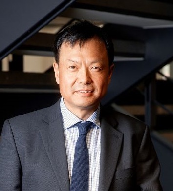
Ying Jin is Professor of Architecture and Urbanism at Department of Architecture, University of Cambridge. He is Leader of the Cities and Infrastructure Research Group, where he leads in the modelling of symbiotic relationships among the economy, land use, transport, urban design and the environment. He has led large modelling teams to work on complex policy and infrastructure projects, including the first land use and urban economic modelling study of the Elizabeth Line (formerly known as CrossRail) in the UK and the World Bank's regional impact assessment of China's High Speed Rail programme. He is a Fellow of Robinson College, Cambridge.
Evolution in the distribution of young adults among mega-city regions: lessons from the UK
Abstract
This talk continues the investigation on trends in urban growth and decline through the presence of young adults over time, particularly those aged 25-34 who are at their most mobile.
The mapping and analysis are illustrated using Census data from the UK – this is a good quality dataset that can be used to trace the presence of young adult residents and workers over the decades among all the constituent city regions. The results are contextualised with a story of economic polarization, with a concentration of economic growth towards London and its hinterlands and persistent declines in the rest of the country.
The UK government has always been very conscious of the concentration of economic activity towards London and the north/south divide ever since the onset of industrial and mining declines in the 1920s, having published reams of government reports and white papers on the topic. The stark contrast between the continuous policy efforts and the harsh reality of worsening polarisation highlights the need to fundamentally re-understand and explain what has been missing in the past and existing policy narratives. This talk put forward a new perspective whilst demonstrating the power of urban informatics, and the lessons learnt from the story may be cogent for many countries that experience polarisation of their regional economies.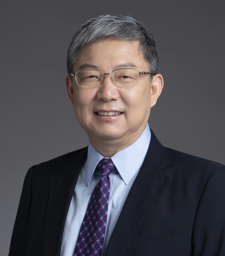
Qingquan LI
Academician of the Chinese Academy of Engineering
Party Secretary of Shenzhen University (former President), Shenzhen University, ChinaBiography
Prof. Qingquan Li is an academician at the Chinese Academy of Engineering and serves as the Party Committee Secretary at Shenzhen University. He was executive vice president of Wuhan University and president of Shenzhen. His research spans from innovative work in spatiotemporal data mining to dynamic precision engineering surveying. He has led a series of national and international research projects, such as the National 973/863 Program, Key Programs of the National Natural Science Foundation of China, and Sino-European international cooperation initiatives. His contributions have earned him several accolades, including the National Teaching Achievement Award, the Ho Leung Ho Lee Prize, the National Technology Invention Award, and the National Science and Technology Progress Award, among others.
Interdisciplinary methods for empowering sustainable regional development
Abstract
Global environmental change and human development demands require innovative approaches to regional sustainability. At the heart of this challenge lies the need to harmonize natural systems with socioeconomic activities through integrated, interdisciplinary solutions. This talk will present some science-to-action cases that use cutting-edge technologies and cross-domain knowledge to address sustainability challenges, such as tracking of human expansion, assessing ecological environmental effects, and monitoring carbon sources and sinks. We demonstrate how AI and geospatial analytics enable precise monitoring of human-environment interactions, while integrated modeling approaches reveal hidden feedback between ecological processes and developmental patterns. The discussion will highlight emerging opportunities where convergence research can accelerate progress toward sustainable development goals, with particular emphasis on scalable technological solutions for regions in transition.
Liqiu MENG
Member of the German National Academy of Sciences
Professor, Technische Universität München, GermanyBiography
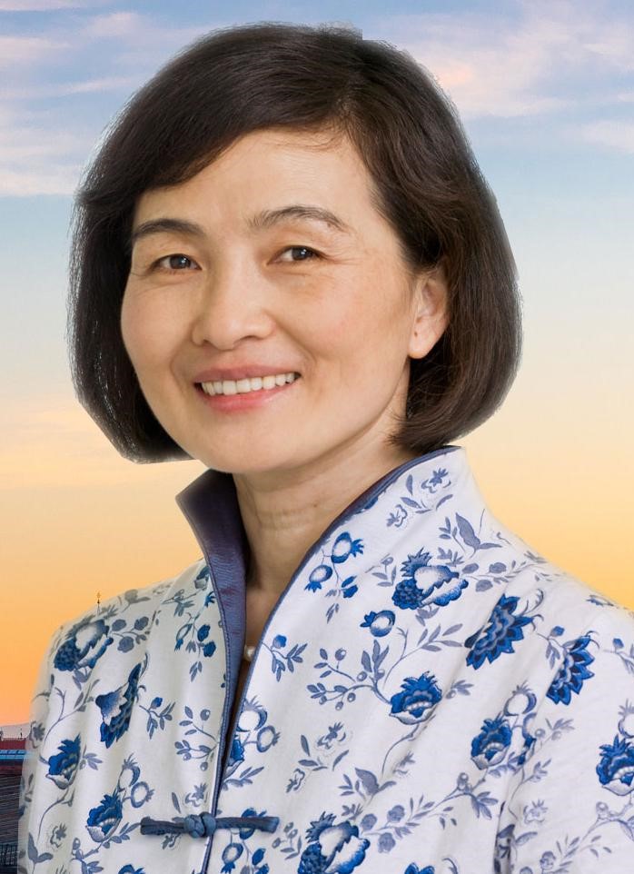
Professor Liqiu Meng is a Chair Professor of Cartography at the Technical University of Munich (TUM) since 1998. She holds a Ph.D. in Geodetic Engineering from the University of Hannover in Germany and a Habilitation in Geoinformatics from the Royal Institute of Technology in Stockholm, Sweden. Her current research interests include visual analytics of AI ethical incidents, knowledge graph and spatial cognition, climate event mapping and spatial data comics. She is a member of the German National Academy of Sciences. She has served as Senior Vice President at TUM; Senator of the Helmholtz Association of German Research Centers; member of the International Advisory Board, Alexander von Humboldt Foundation; Senator of the German Aerospace Center (DLR), Vice President of the International Cartographic Association (ICA). She is currently series editor for Springer Lecture Notes "Cartography and Geoinformation", board member of the Hans-Rudolf Foundation, and advisory board member of Georg Nemetchek Institute – AI for the Built World.
Visual thinking of multi-scaled and scale-free urban information
Abstract
The relentless development of computer vision and computer graphics has provided a solid foundation for us to explore digital urban systems at our fingertips. Visualized city models at different levels of detail serve as an intuitive user interface and are supported by a wide range of personalized GIS tools that enable queries and reasoning about what, where, when, how and why various events occur.
Decades of experience with interactive geospatial services has fostered and reinforced our habit of layered thinking. We try to gain a holistic understanding of our living spaces by exploring the urban patterns and their spatial, temporal and semantic relationships from different perspectives. We are undoubtedly more informed than ever. But at the same time, smart cities, equipped with extreme engineering and AI, seem to have become capable of seeing through us, understanding our every move, and predicting our next move.
Smart cities know more about us than we know about them. This is surprising and frightening at the same time. Obviously, it is not the ultimate state of development that humanity seeks. For too long, we have viewed urban spaces as mechanical assemblages of geospatial objects rather than complex systems that evolve either naturally or by design. It is therefore necessary for us to think outside the box. The speaker advocates a visual analytics that combines the layered thinking with linked thinking in order to explore multi-scaled and scale-free urban information.
Wenzhong SHI
Academician of International Eurasian Academy of Sciences
President of International Society for Urban Informatics
Director of Otto Poon Charitable Foundation Smart Cities Research Institute, The Hong Kong Polytechnic University, Hong Kong SAR, ChinaBiography
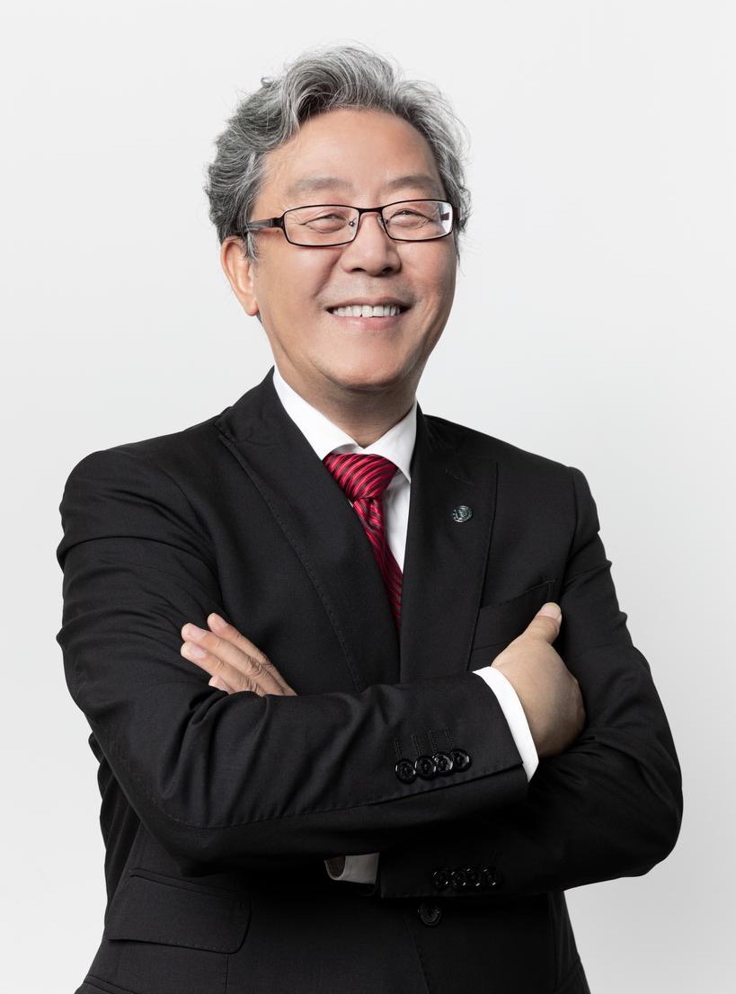
Professor Shi is currently the Director o Otto Poon Charitable Foundation Smart Cities Research Institute, Chair Professor in Geographic Information Science and Remote Sensing, at Hong Kong Polytechnic University. He is Academician of International Eurasian Academy of Sciences and Fellow of Academy of Social Sciences (UK). He earned his doctoral degree from Germany in 1994. Professor Shi also serves as President of International Society for Urban Informatics and Editor-in-Chief of International Journal Urban Informatics.
His research covers urban informatics for smart cities, geographic information science and remote sensing, artificial-intelligence-based object recognition and change detection from satellite imagery, intelligent analytics and quality control for spatial big data, and mobile mapping and 3-D modelling based on LiDAR and remote sensing imagery. He has published over 300 research articles in journals indexed by Web of Science and 20 books. He is among the worldly top 2% (specifically, 0.34%) cited researchers. He has over 50 patents granted.
Professor Shi has won State Natural Science Award, China’s highest award for fundamental science, in 2007; Founder’s Award by International Spatial Accuracy Research Association in 2020; and Gold Medal in 2021 & 2023 Geneva Invention Expos.
Zhiqiang WU
Academician of the Chinese Academy of Engineering
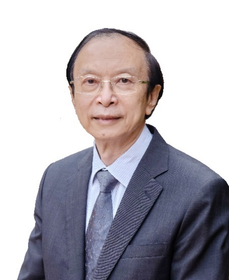
Professor, Tongji University, ChinaProf. WU Zhiqiang is Member of Chinese Academy of Engineering, Member of German Academy of Science and Engineering (acatech), Member of Royal Swedish Academy of Engineering Science and Honorary Fellow of American Institute of Architects (Hon. FAIA).
He is the Chief Scientist of China Intelligent Urban Planning Co-creation Center for Yangtze River Delta Agglomeration (CIUC), Councilor of Shanghai Government, Member of Shanghai Artificial Intelligence Development Experts’ Committee, Vice President of Urban Planning Society of China, Vice President of China Association of Building Energy Efficiency, Vice President of China Green Building Council, and Standing Vice Chair of Shanghai Overseas Returned Scholars Association. Prof. WU is also the Chief Editor of the journals Urban Planning Forum and the Frontier of Urban & Rural Planning (FRUP).
Prof. WU had served as the Vice President of Tongji University from 2011 to 2021, and is currently the Member of the Academic Degrees Committee of the State Council, Chairman of the Sub-Committee of Urban and Rural Planning Professional under the Ministry of Education and Chair of World Urban Planning Education Network (WUPEN).
Prof. WU is the Chief Planner of Shanghai World EXPO 2010, Chief Planner of Beijing Sub-Center Urban Design Comprehensive Plan, and the Chief Planner of more than 150 urban planning projects.
AI Urban Planning
Abstract
From the temple-led city-states of ancient Mesopotamia to today’s resilience-driven agendas, the long arc of urban civilisation shows a steady amplification of religious, aesthetic and—above all—technological imperatives that now converge in the smart-city paradigm. Expo 2010 Shanghai marked a definitive turning point: real-time simulations of 73 million visitor movements demonstrated that metropolitan layouts can be evaluated and optimised through massive data streams, inaugurating large-scale, evidence-based urban governance. Building on this legacy, the report proposes an iterative four-generation framework that chronicles early ideal-city concepts, technology-led urban disease mitigation, sustainability-centred experimentation, and the current resilience-oriented phase . Finally, The report presents AI4 Planning, a comprehensive methodology grounded in a four-ring, twelve-module planning process and powered by four specialized agents—Strategic for system visioning, Precision for spatial implementation, Ecology for sustainable efficiency, and Execution for real-time monitoring and iteration—to translate strategic insight into adaptive, human-centred urban designs.
Anthony YEH
Academician of the Chinese Academy of Sciences
Chair Professor, Department of Urban Planning and Design, The University of Hong Kong, Hong Kong SARBiography
Prof. Anthony G.O. Yeh is a Member of the Chinese Academy of Sciences and Hong Kong Academy of Sciences and Fellow of TWAS (The World Academy of Sciences) and Academy of Social Sciences UK. He is Chan To-Hann Professor in Urban Planning and Design and Chair Professor of Department of Urban Planning and Design and Director of the Centre of Urban Studies and Urban Planning and former Dean of Graduate School, Director of GIS Research Centre, Institute of Transport Studies at the University of Hong Kong. His main areas of specialisation are in urban development and planning in Hong Kong, China, and South East Asia and the applications of geographic information systems (GIS) as planning support system. He received the UN-HABITAT Lecture Award in 2008 for his outstanding and sustained contribution to research, thinking and practice in the human settlements field. His projects have won a gold medal in the 2018 and 2024 Geneva International Exhibition of Inventions and gold award in the 2022 Hong Kong ICT Smart Logistics Award.
He has published over 30 books and monographs and over 180 international journal papers and book chapters. He also serves as editorial board members in major international journals and honorary professors and external examiners of a number of universities and research institutes in China and S.E. Asia. He has been President of Asia GIS Association, Founding Secretary-General of the Asian Planning Schools Association and Asia GIS Association, Founding President of the Hong Kong GIS Association, Vice‑President of the Commonwealth Association of Planners, Vice‑President of the Hong Kong Institute of Planners, and Chairman of the Geographic Information Science Commission of the International Geographic Union (IGU).
Machine Self-Learning for Smart Cities
Abstract
How smart is a smart city? Recent advancements in the use of digital twins in smart cities provide a continuous real time exchange of data, analysis, and feedback between the real world physical space (the city) and the cyberspace (the digital model). Through the interaction of the collection of real time spatial-temporal data from the sensors in the real world physical space and the digital model in the cyberspace, digital twin can help to make real time decision in the real world much faster and more accurate. Furthermore, the availability of spatial-temporal data series in the digital twin will enable the use of machine self-learning to make the model in the digital twin to be more adapted to the changing urban environment that will help in making better decision when the urban environment has changed. Self-learning is how human beings progress. Similarly, machine self-learning will make smart cities smarter.
Research on Urban Remote Sensing Big Data
Abstract
The development of modern remote sensing technology has provided great potential for perceiving urban environments and analysing changes in urban ecological environments. However, there is still a lack of effective intelligent analysis methods to extract more precise information. Therefore, the academic community has carried out research on deep learning of multi-source remote sensing information to extract urban ecological environment information at the pixel scale, opening up a new path for remote sensing in urban environment research.
Note: The order of the speakers is arranged alphabetically from A to Z based on their last names, regardless of the sequence of their presentations.